Website & App
TIRANA CITY ATLAS
Scroll ↓
Project Scope: 4 weeks
Project Type: Assignment
Role: UX Design, UI Design, UX Research
Tools: Paper, Pencil, Adobe XD,
Overview
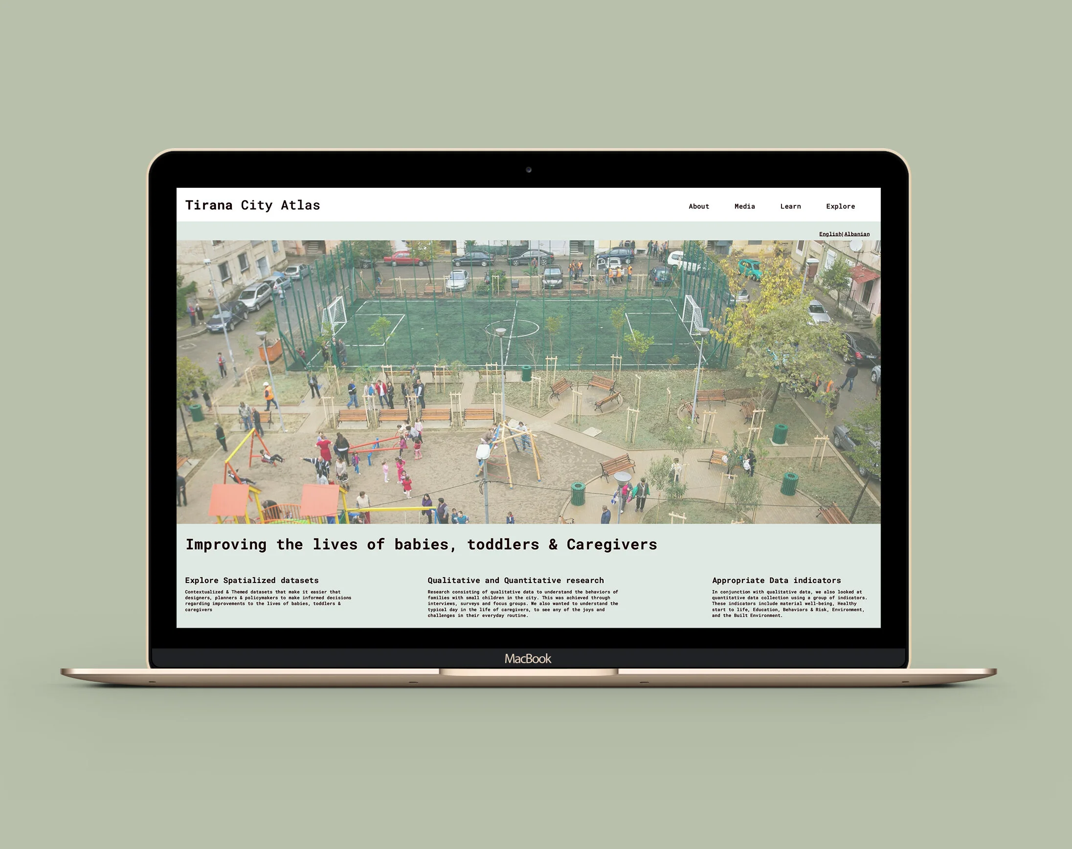
The Tirana City Atlas – a mapping tool and themed open data platform with various datasets to help designers, planners and policymakers make informed decisions towards making the City of Tirana better for babies, toddlers and caregivers.
Note: The Tirana City Atlas is a fictional database but the research is organic and the design is based on real users
Project Goal
To provide an easy to use mapping tool and themed open data platform that is publicly accessible to professionals and citizens

Problem Statement
The city of Tirana, which is Albania’s capital grew rapidly in size and population following the fall of the communist regime in 1992. As there was no private land, this growth was heavily unregulated, resulting in a chaotic, car oriented city unsuitable for families with young children. Recently the city government has attempted to make improvements to quality of life in the city, including for families with young children. Unfortunately a major obstacle to realizing a progressive child friendly urban planning policy is a dearth of research and data (qualitative and quantitative) for designers, planners & policymakers
Who is it for?
User Research was very important for the project. I identified various stakeholders, their needs, motivations and behaviors, and drafted personas based carefully on in-person interviews and field visits
Caregiver Interview 1
Caregiver Interview 2
Bike ride through Tirana with Harvard fellows and Bashkia Tirane planners & designers.
Background Research
The Tirana City Atlas was made possible through The Tirana, City for Children, City for All; a research project that I contributed to as a graduate student at Harvard University during a two month summer fellowship in Tirana, Albania in 2018. I was part of a group of 5 students including, Aranza de Arino Bello, Laura Lopez Cardenas, Mariana Pereira Guimaraes, and Alicia Valencia who worked towards the city of Tirana’s first child friendly urban planning policy. The research project was in partnership with the Municipality of Tirana (Bashkia Tirane) The Bernard Van Leer Foundation, and Harvard University Graduate School of Design.
Day in the life
The aim of the child friendly urban policy & Atlas is to improve the well being of babies, toddlers and their caregivers, and rethink life in the city from the perspective of the average three year old, through urban planning, policy-making and technology. The belief is that improvements to the urban experience of this demographic will benefit every citizens, including the elderly and persons with disabilities.
A key aspect of the research was the collection of qualitative data to understand the behaviors of families with small children in the city. This was achieved through interviews, surveys and focus groups. We also wanted to understand the typical day in the life of caregivers, to see any of the joys and challenges in their everyday routine.
What did we discover?
The results of the qualitative data revealed that the city (especially public transit) does not cater to the complex routine of caregivers of small children, instead it caters for city residents who commute to and from work during rush hours.
In conjunction with qualitative data, we also looked at quantitative data collection using a group of indicators. These indicators are a good start but it is important that the data is spatialized and collected in a systemic way. Data needs to be contextual in order for it to be useful to practitioners, policymakers and citizens. It is also important to release data as a themed portal and involving caregivers of babies and toddlers in the design process so that the data can become more useful and accessible. It is important that the data is dis aggregated rather than consolidated, as dis aggregated data reveals patterns than can be masked by consolidated data.
Spatialization of data
Interdepartmental Cooperation
Spatialized data requires interdepartmental cooperation throughout the city to improve urban planning through multi-layered suitability analysis, This qualitative and quantitative would allow the city to make informed decisions in their urban planning and policy-making.
How it works
The Tirana City Atlas allows users to easy pick and overlay appropriate datasets. Users can also create a professional customizable quality map


